


Esri Advances Secure Drone Solutions with Blue UAS Cleared, Federally Approved Drone
In the fast-paced
drone industry, compliance with federal regulations and the use of advanced
technology are essential for staying competitive. Esri, the global leader in location
intelligence, is now supporting the Astro Max drone, the first Blue UAS cleared
and NDAA-compliant drone to integrate with Esri’s ArcGIS Flight application.
Developed by Esri
partner Freefly Systems, the Astro Max is an American-made drone that meets the
rigorous security and performance standards of the National Defense
Authorization Act (NDAA) and the Defense Innovation Unit’s (DIU) Blue UAS
initiative. This compact and powerful industrial drone enhances the
capabilities of government and enterprise users with ArcGIS Flight.
"With this
integration, we're not only meeting federal customers’ demands but also staying
ahead of potential federal regulations," said Brent Pierce, lead product
engineer for ArcGIS Flight. “This proactive step reinforces Esri’s commitment
to our users' success and solidifies our leadership in the drone mapping
industry by providing them with a seamless and secure solution for drone
operations."
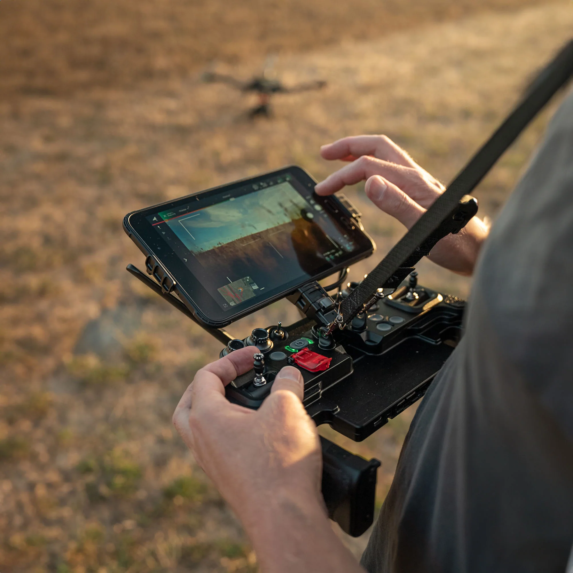
Within the ArcGIS
Flight mobile app, UAS pilots, especially those flying missions for the U.S.
government, can fly drones autonomously, capture high-quality drone imagery,
and enhance situational awareness. They can also easily share flight
information with key stakeholders and collect geospatial video, which includes
location and orientation data. This streamlined approach boosts operational
efficiency and ensures that government customers have a secure and integrated
solution for their critical missions.
Esri's support for
the Astro Max is a major milestone in the drone industry. It provides
government agencies and organizations with a trusted, secure, and
high-performance drone solution that meets the highest standards of security
and compliance.
Leave A Comment